Rabbit Ear Mountain
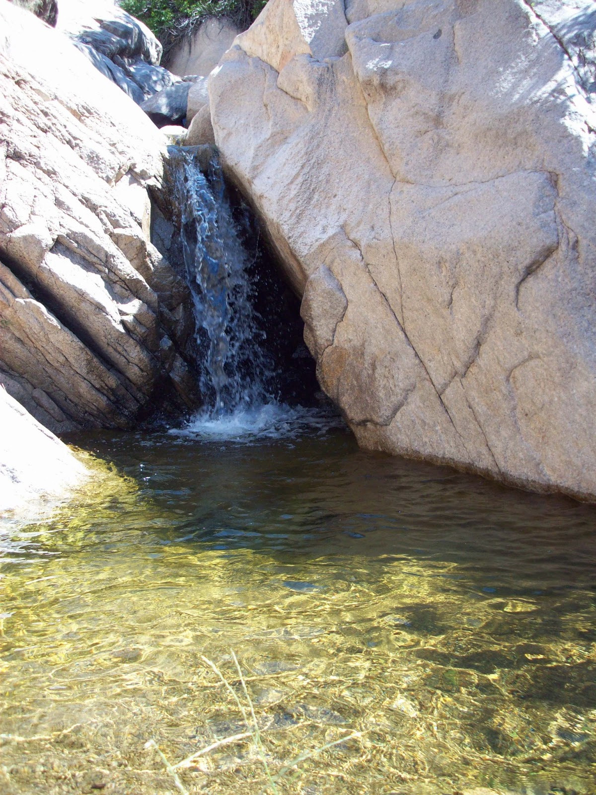
Rabbit Ear mountain was an important landmark on the Santa Fe Trail because it not only was a visible landmark from all directions, while also providing a reliable source of drinkable water for 30 miles; it also lay along the Cimarron Route, which provided a flatter and faster route to Santa Fe than the Mountain Route (which climbed the steep Raton Pass). Edible greenery was sparse for travelers along the western portions of the Santa Fe Trail. Once a traveler reached Rabbit Ears, they would typically meander through the area for four days, enjoying the natural resources. These groups of men, women, and children would cross the valleys of the mountain and emerge from the landscape replenished and rejuvenated. Once they left this safe haven, the next closet town that provided travelers with necessities was Clayton, New Mexico, located to the north of the mountain.1


How it got its name
Rabbit Earsountain was named after the great Cheyenne Chief Orejo de Conejos, whose name translates to ‘Rabbit’s Ear.’ He was given this name due to his abnormally shaped ear, which was supposedly damaged by frostbite when he was a child. According to a popular story told by the early Spanish settlers, Orejo de Conejos was killed in a bloody battle with the Spanish Army in 1717. After the battle, Orejo de Conejos was buried on top of the larger of the two volcanic hills, and therefore named after him to memorialize his bravery against the Spanish.2
The Battle
The story of the battle of Rabbit Ear Mountain is told from the perspective of Spanish settlers in the early 1700s. The battle started after some Comanches were holding several Spanish hostage. As a result, an expedition of about 500 soldiers was sent from Santa Fe to attempt to free these prisoners from their bondage. The expedition was well armed and equipped as they moved out toward Rabbit Ear after learning that they were camped out there. Once the Spanish forces arrived, they decided to charge the camp at daylight. This battle killed hundreds, both Spanish and Comanche, and the Spanish was said to have taken 700 Comanches prisoner. The Spanish were successful in freeing the captives. It is also rumored that the Comanche never again went on the warpath against the Spaniards and a treaty was made to cease the fighting between the two groups.2

Terrain
These iconic mountains are remnants of volcanoes and a part of the larger Raton-Clayton Volcanic Field. The terrain and landscape change depending on where you stand. There are some areas where the ground is firm, others where it is loose or sandy; the landscape ranges from flat plains to ridges and valleys. The best time of year for Santa Fe Tail travelers to pass though was the spring, when the winter snow had melted and the heat was not yet overwhelming. The Rabbit Ears area has several large grassy fields where travelers could graze their animals. The twin peaks are 6,062 ft and differ in name due to size differences. The larger mountain is called “Rabbit Ear Mountain”, and the smaller mountain is called “Rabbit Ear Butte” due to the steep sides and characteristic flat top.3

Visiting Today
Rabbit Ear is considered one of the best preserved landmarks along the Santa Fe Trail. There are three spots that have been preserved for modern day use and visiting. These sites were frequently used as camps by the travelers, all of which are located by sources of water. The campsites that are open to visitors are McNees Crossing on Corrumpa (or McNees) Creek, Turkey Creek Camp on what is now called Alamos Creek, and Rabbit Ears Camp on Cienequilla Creek.
Bibliography
-
Greenwood, Richard. “Rabbit Ears (Clayton Complex).” National Register of Historic Places Inventory/Nomination Form. Albuquerque, N.M.: National Park Service Southwest Regional Office, 1981.
-
U.S. Army. Report of the Exploring Expedition from Santa Fé, New Mexico, to the Junction of the Grand and Green Rivers of the Great Colorado of the West in 1859. Washington, D.C.: U.S. Government Printing Office, 1876.
-
Weiser, Kathy. “Cimarron Route of the Santa Fe Trail in New Mexico.” Legends of America.